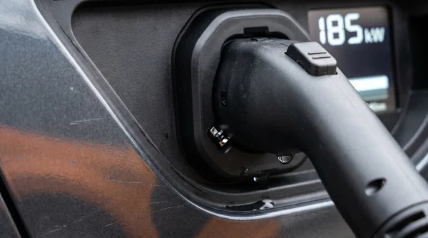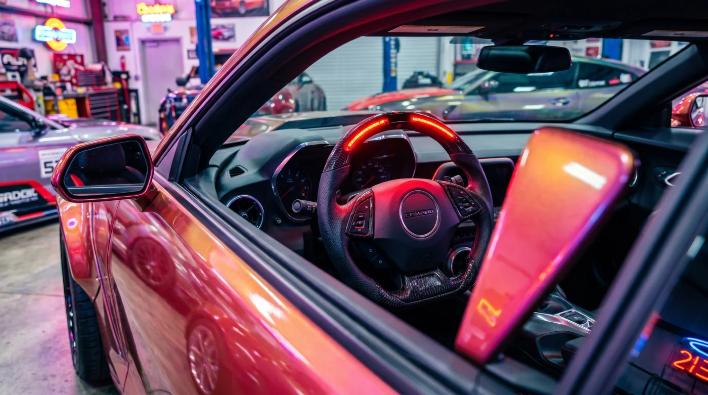
The Interstate is quiet at 2:00 AM, save for the low, rhythmic hum of thirty-psi tires meeting cool asphalt. You ease back into the leather seat of your late-model Sierra, letting your arms fall to your lap as the active lane-centering takes hold. The green glow of the steering wheel rim bathes the cabin in a calm, modern light. This is the promise of hands-free highway driving—a seamless handoff of human effort to a machine that never sleeps.
Then, the asphalt narrows. A line of orange barrels begins to squeeze the shoulder, and a temporary concrete barrier appears on the left, mere inches from the white line. Suddenly, the green light vanishes. In its place, the flashing red LED strip embedded inside the top steering wheel rim pulses with terrifying urgency. Before your hands can even find the leather grips, the system disengages, leaving the two-ton vehicle drifting at seventy miles per hour toward a fresh concrete wall. It is a moment of pure, heart-stopping adrenaline that betrays the absolute trust we place in modern driver-assist technology.
The physical sensation of this disconnect is jarring. The steering wheel, which felt fluid and weightless a moment before, suddenly hardens as the power-assist motor adjusts to manual input. Your feet scramble for the pedals, hunting for the reassuring resistance of the brakes. In that split second, the quiet cabin is filled with a rapid, scolding chime that feels less like a warning and more like an admission of defeat from the vehicle’s onboard computers.
The Clash of Twin Realities
To understand why your vehicle suddenly panics in these construction corridors, you must look past the cameras mounted on your windshield. We tend to view modern driver-assist suites as highly intelligent, real-time thinkers. We assume they see the world exactly as we do, navigating obstacles on the fly. In reality, these systems are tethered to a pre-recorded digital landscape.
Think of it as driving with your eyes open while following a highly detailed, three-dimensional blueprint drawn months ago. This is the “Ghost Map” phenomenon. GM’s mapping fleet compiles millimeter-accurate LiDAR scans of major highways, creating a digital twin of the road. When your vehicle enters a construction zone where workers have shifted the lanes using temporary concrete barriers, a violent digital contradiction occurs. The onboard camera sees the barrier, but the outdated LiDAR cache says the lane should be open. Rather than resolving the dispute, the software chooses immediate surrender.
- Rivian R1S weight specifications legally bypass luxury vehicle tax restrictions for businesses
- Volkswagen ID.4 suspension components share identical stamping codes with premium Audi crossovers
- Hyundai Ioniq 5 winter driving exposes a severe cabin heater efficiency flaw
- Kia Telluride seatbelt recall searches explode as front pretensioners risk explosive shrapnel deployment
- 2027 Silverado SS renderings trigger massive dealership deposit surges for lowered street trucks
Marcus Vance, a 42-year-old former vehicle integration engineer based outside of Detroit, spent nearly a decade diagnosing sensor conflicts in pre-production test fleets. He explains that the vehicle’s central computer is programmed with an absolute hierarchy of safety. “When the live camera stream disagrees with the high-definition map database by more than a few inches, the system experiences a confidence crisis,” Marcus says. Instead of attempting to guess which input is correct, the software immediately aborts, forcing the human driver to take control within a fraction of a second.
Risk Profiles Across the Mapped Network
Not all construction zones trigger this sudden failure mode. The severity of the system abort depends heavily on the geometry of the road and how recently the local infrastructure has changed.
The High-Speed Commuter Corridor
On wide, multi-lane interstates, construction crews often use plastic traffic cones or barrels to taper lanes. Because these markers are semi-transparent to radar and allow some visual bleed-through, the system may tolerate them for a time. However, sudden concrete barrier placements present a solid, reflective surface that completely blocks the expected path of travel, triggering an instant lockout.
The Tight Rural Bypass
When highways are routed through narrow bypasses with temporary lane splits, the system loses its geometric reference points. If you are traveling through a rural corridor where the mapping data has not been updated in the last quarter, expect frequent system drops. The car simply cannot reconcile the tight, concrete-walled lanes with its outdated digital memory.
Navigating the Map Conflict Zone
Reclaiming control from an automated system requires a shift from passive passenger to active supervisor. You do not need to turn the system off entirely, but you must learn to read the road ahead to anticipate when the hardware will fail.
- Monitor the Horizon: Look for flashing yellow warning signs or orange construction markers at least a half-mile ahead.
- Position Your Hands Early: Place your hands lightly on the wheel at the first sign of concrete barriers, even if the light bar remains green.
- Maintain Center Lane Bias: Keep your vehicle centered to prevent the side-facing sensors from sensing temporary walls too closely.
- Deactivate Before the Curve: Manually disable the hands-free system prior to entering high-speed, curved construction zones to prevent sudden steering jerks.
To maintain your system in optimal working order, use this three-step validation process before embarking on long road trips. First, check your vehicle’s infotainment screen for pending Map Database updates, which require an active OnStar connection. Second, clean the front-facing camera housing behind the rearview mirror with a dry microfiber cloth to prevent optical distortion. Third, ensure the driver-attention camera on the steering column is free of dust, as a dusty lens slows down the system’s handoff warning.
The Illusion of Total Autonomy
As manufacturers race to add hundreds of thousands of miles to their hands-free networks, we are forced to confront a sobering truth about modern transportation. Technology can map the physical world, but it cannot predict the fluid, chaotic nature of human construction. A concrete wall placed by a crew at midnight will always outsmart a satellite map updated three weeks ago.
True safety does not lie in trusting the machine implicitly, but in understanding its boundaries. When we recognize that the flashing red light is not a failure of technology, but a limitation of digital memory, we regain our role as the ultimate authority behind the wheel. We drive not with blind faith, but with measured, active awareness.
“The smartest driver-assist system is only as accurate as the last survey vehicle that drove the asphalt six months ago.” — Marcus Vance
| Key Point | Detail | Added Value for the Reader |
|---|---|---|
| System Conflict Trigger | LiDAR map data mismatches with real-time lane markers like concrete barriers. | Helps drivers predict exactly where and why the system will disengage. |
| The Hand-off Signal | A flashing red LED strip on the steering wheel rim with an audible warning. | Gives immediate visual feedback to prepare for manual steering override. |
| Map Update Cycle | Over-the-air updates occur automatically via GM’s connected services. | Ensures your vehicle has the latest construction bypass data downloaded. |
Why does Super Cruise disconnect near construction zones?
The system relies on highly detailed, pre-mapped LiDAR data. When temporary concrete barriers or lanes deviate from this pre-recorded map, the software experiences a mismatch and safety-disengages to prevent steering errors.
How much time do I have to take over when the red light flashes?
The transition is nearly instantaneous. You must be prepared to assume control of the steering wheel the exact second the flashing red LED strip appears.
Can I force the system to stay active during roadworks?
No. The system’s safety protocols are hardcoded to disengage when optical sensors and GPS-mapped coordinates disagree. Overriding this is impossible and unsafe.
How do I ensure my car has the latest map data?
Keep your OnStar subscription active and leave your vehicle parked in an area with good cellular reception overnight to allow automated background map downloads.
Does weather affect this mapping conflict?
Yes. Heavy rain or snow can further degrade optical camera performance, making it even harder for the car to resolve map discrepancies, leading to faster disengagements.